The Federal Aviation Administration launched their Low Altitude Authorization and Notification Capability program (LAANC) in Colorado this past June. It was the second part of six-part nationwide rollout that enables commercial drone pilots to apply for and “receive a near real-time authorization for operations under 400 feet in controlled airspace around airports,” according to the FAA. The program is, in part, a response to huge demand drone pilots have put on the FAA with waiver requests to fly in controlled airspace.
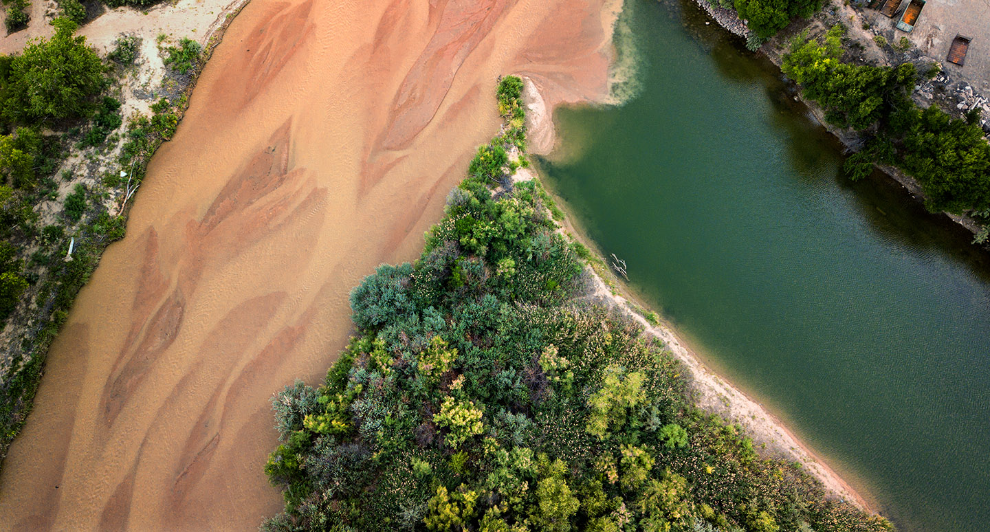
I don’t LAANC a lot, but I did on the first of August to make a picture of the confluence of the Fountain and Arkansas rivers. Using a cell phone application called Airmap, I requested to fly 40 minutes in Pueblo Memorial Airports’s controlled airspace. Less than two minutes after filing the request, I got a text telling me I was authorized to proceed with my flight.
It’s easy to see how handy a tool like LAANC can be when wanting to fly near airports on short notice. Especially when compared to a previous waiver process that might have taken 30 days or more to get approval for the same flight.