I handed Monica the San Isabel National Forest map and pointed out our current locale, just south of Westcliffe. “We’re over here and I need you to navigate us over to there,” waggling my finger in the vicinity of County Road 119 and the Grape Creek trailhead. Monica doesn’t often swear. And she didn’t cuss then. But the look she shot me likely tarnished that halo of her’s just a little bit. At the same time, our dog Rafa barked impatiently: dude, are we even there yet!?
As if he knew where Music Pass was.
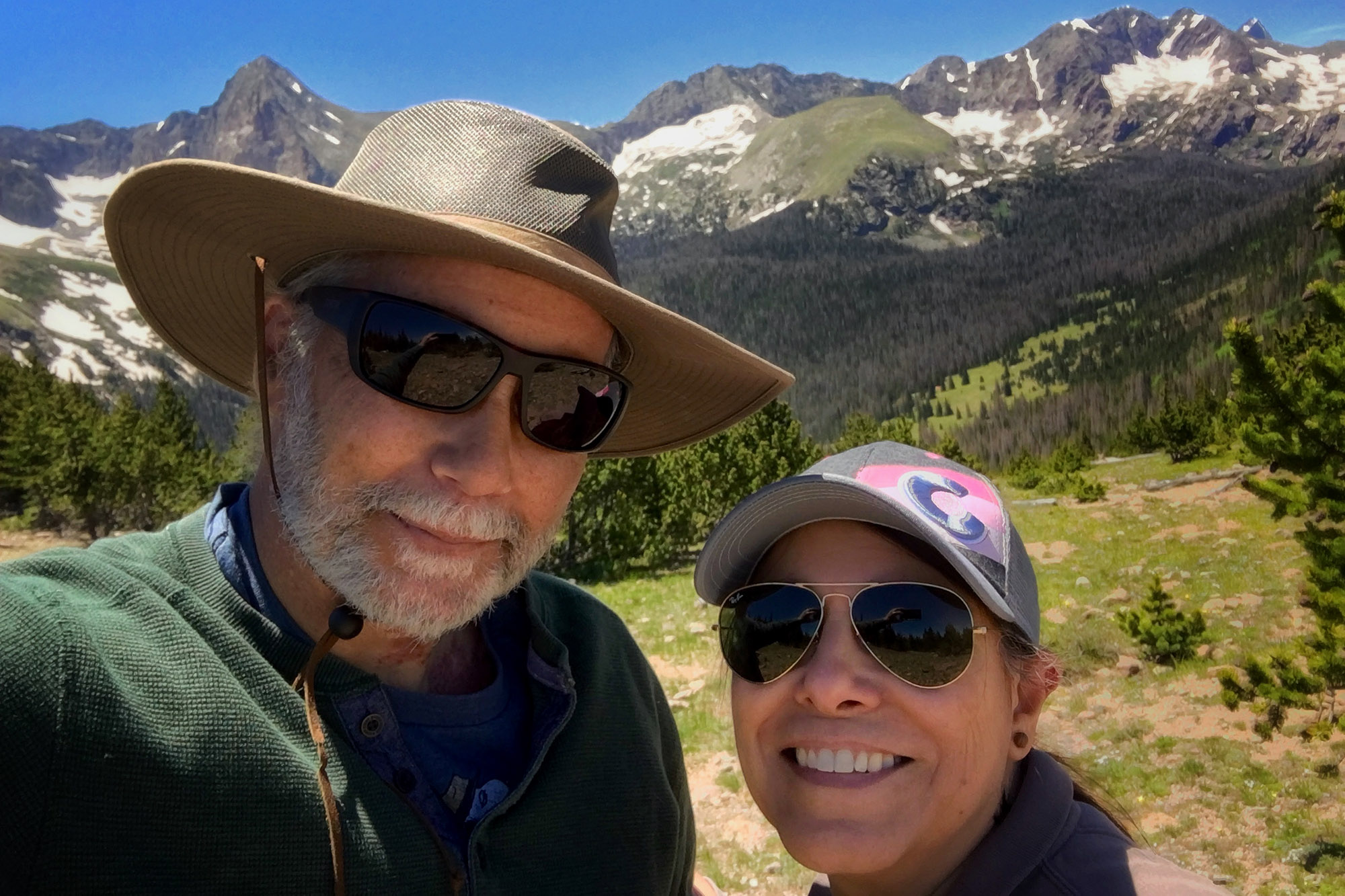
Despite her reluctance, Monica deftly guided us to where we needed to be: the bouncy, rocky, twisty, stretch of Forest Service Road 1327. It’s not the friendliest bit of roadway, but forgiving enough for an old Toyota Tacoma to drive up. We parked in the lot at the end of the road and began a deliberate hike to the Music Pass overlook. “It’ll be worth it,” I told Monica more than once as we made our way up the mountain path. And yes, like me when I first saw the pass, she was floored by vista at the top. “You were right,” she said.
Music Pass was the first of four hikes we did this summer. It’s got an elevation of 10,450 feet. Then we did St. Charles Peak, elevation 11,661 feet (actually, we did it twice–more on that in a second) and the Tower Trail in the Pueblo Mountain Park, elevation 7,300 feet. I don’t hike the mountains all that often, and Monica’s more of “walk around the neighborhood-type,” but she’s proven to be a quick study. Better still, she’s proven immune to the debilitating effects of altitude that in the past had separated me from my lunch. Yeah, she gets winded, but after a few minutes rest and a couple sips of water, she’s at it again. As for our dog Rafa, he’s ready to go anywhere at just about any time.
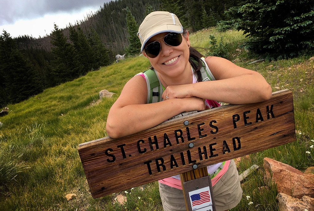
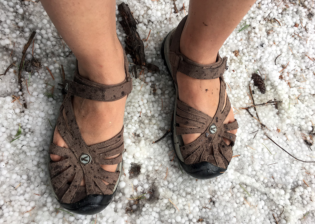
Now on most days, the St. Charles Peak is an easy hike, especially starting out from Greenhorn Road. However our first attempt was thwarted by an uncharacteristic mid-morning thunderstorm. Mid-afternoon thunderstorms are common place in the mountains. But a 10 a.m. storm is rare, especially accompanied by hail. In any case, we rode out the storm–we thought–and and resumed our ascent. We were about 200 feet from breaking the tree line when thunder clapped just a bit too close for comfort, forcing us back down the trail.
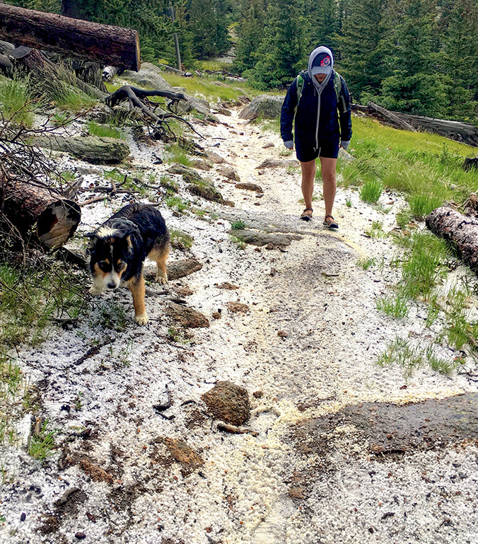
The following week we struck out once again for the St. Charles Peak and marched right up to the top without incident. Monica was a bit peeved to learn there wasn’t an actual trail to the peak, but her annoyance was soon passed, eased by the views of the Sangre de Cristo mountains to the west and the vast prairie to the east.
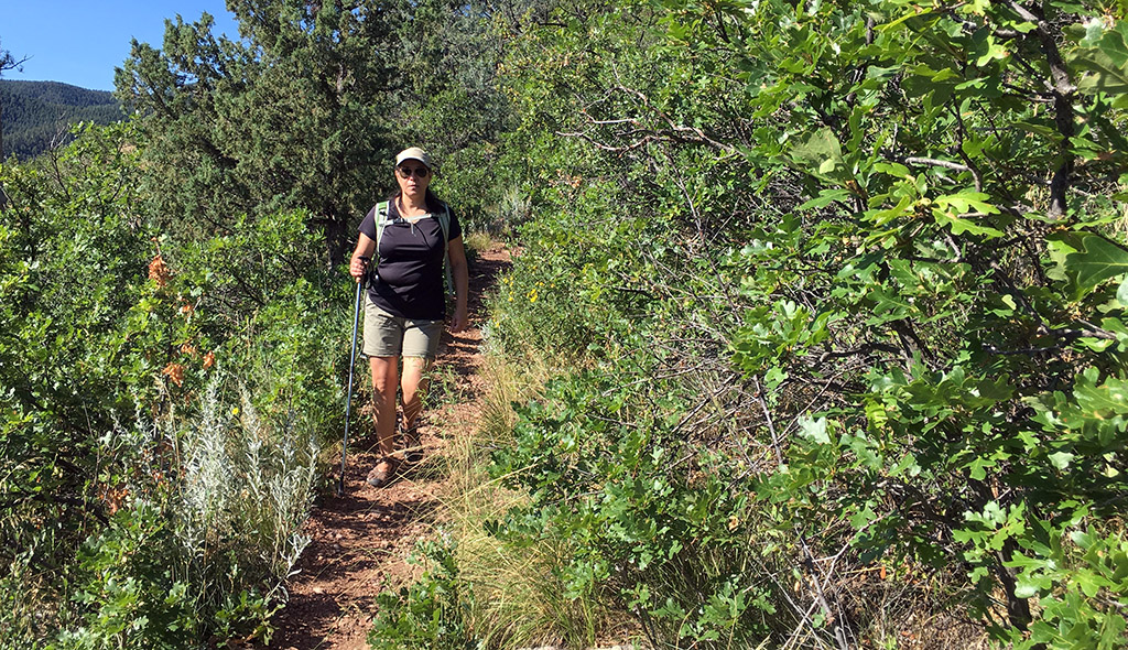
We closed out hiking grand slam with a hike up the Tower Trail at Pueblo Mountain Park. The shortest of our four outings, the Tower Trail might have been the steepest, at least at the beginning. Coupled with a few switchbacks, it’s a challenging little trek. I wanted to show Monica the overlook at Devils Canyon, but she didn’t want to linger (a case of the heebie-jeebies), so after a quick bite to eat, we started back down the trail.
On our walk back to the truck, a couple drove past us asking if we hiked the mountain park before and did we know where the Devil’s Canyon trailhead was. I answered in the affirmative since, technically, it was true, and sent them down the road to where I saw a sign minutes before for Devil’s Canyon.
I looked at Monica. “We look like hikers,” I said. We both laughed.